I collect old road maps. Someone send me a few hundred dollars so I can frame a couple of them.
This one is from 1984, and is of New York City and Vicinity, and Long Island. Historical sites aplenty.

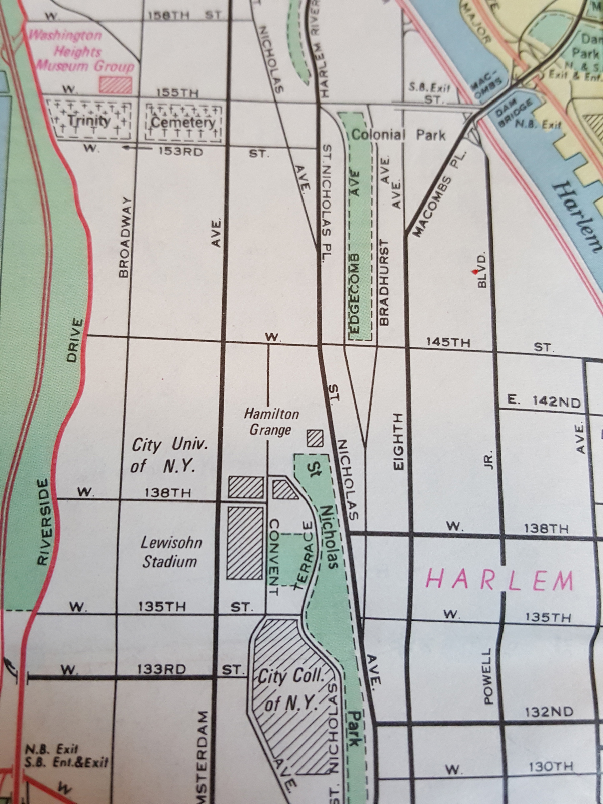
Hamilton Grange, in Harlem

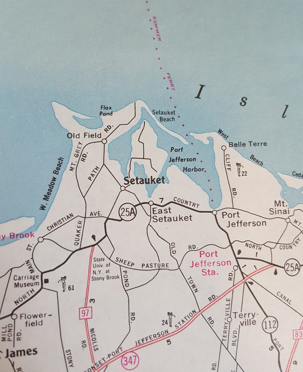
Setauket, Long Island, principal setting in “Turn”

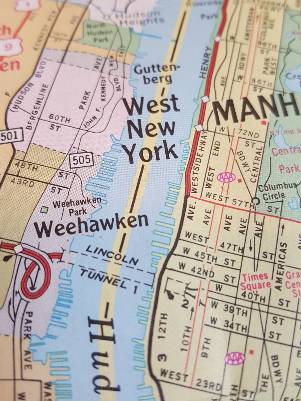
Weehawken Park, NJ
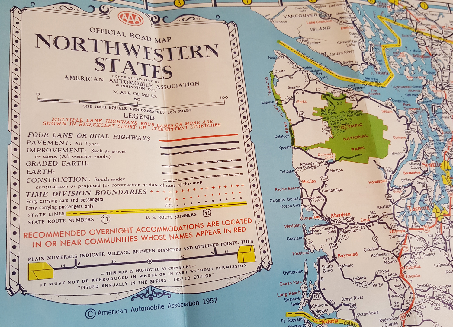
Another much older road map is from 1957, and is of the Northwestern States. It is beautiful.

On the back there are detail maps of cities and a map showing driving distances between cities. I remember using folding maps to guide my road trips ALL the time. It wasn’t as convenient as GPS but it actually made determining spatial relationships a lot more logical for the human mind.
